Geology of the ANF
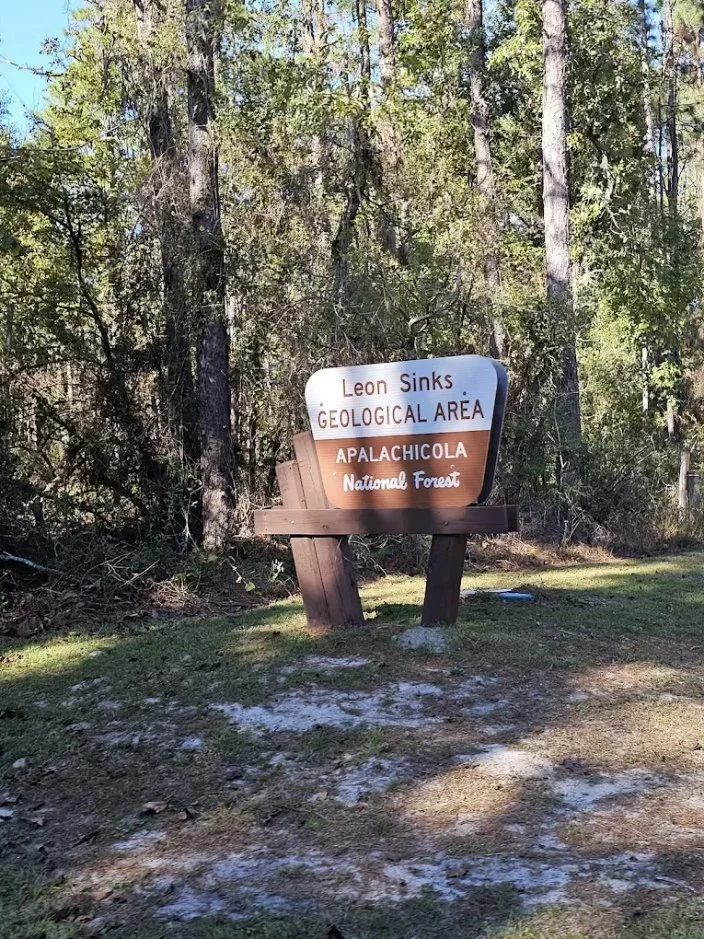
Until roughly 20 million years ago (mya; the late Oligocene), Florida was completely inundated by shallow seas when part of the Florida Platform was exposed for the first time. In the part of the Panhandle that became the Apalachicola National Forest, ridges and small escarpments related to coastal processes as sea level fluctuated during the Pleistocene Epoch (2.6 mya to 11,700 years ago) have been revealed by recent LiDAR elevation models. Karst features occur in parts of the ANF where limestone is near the surface (e.g., Leon Sinks Geological Area in Compartment 248 on U.S. 319). Elevation in the forest ranges from 25 to 120 feet above sea level, but subtle changes in elevation (5 to 10 inches) can result in striking differences in vegetation in the transition from wetlands to uplands. The surface materials of the ANF are generally sandy although alluvia along major rivers may include heavier sediments (Clewell 1971).
Rivers and Watersheds of the ANF
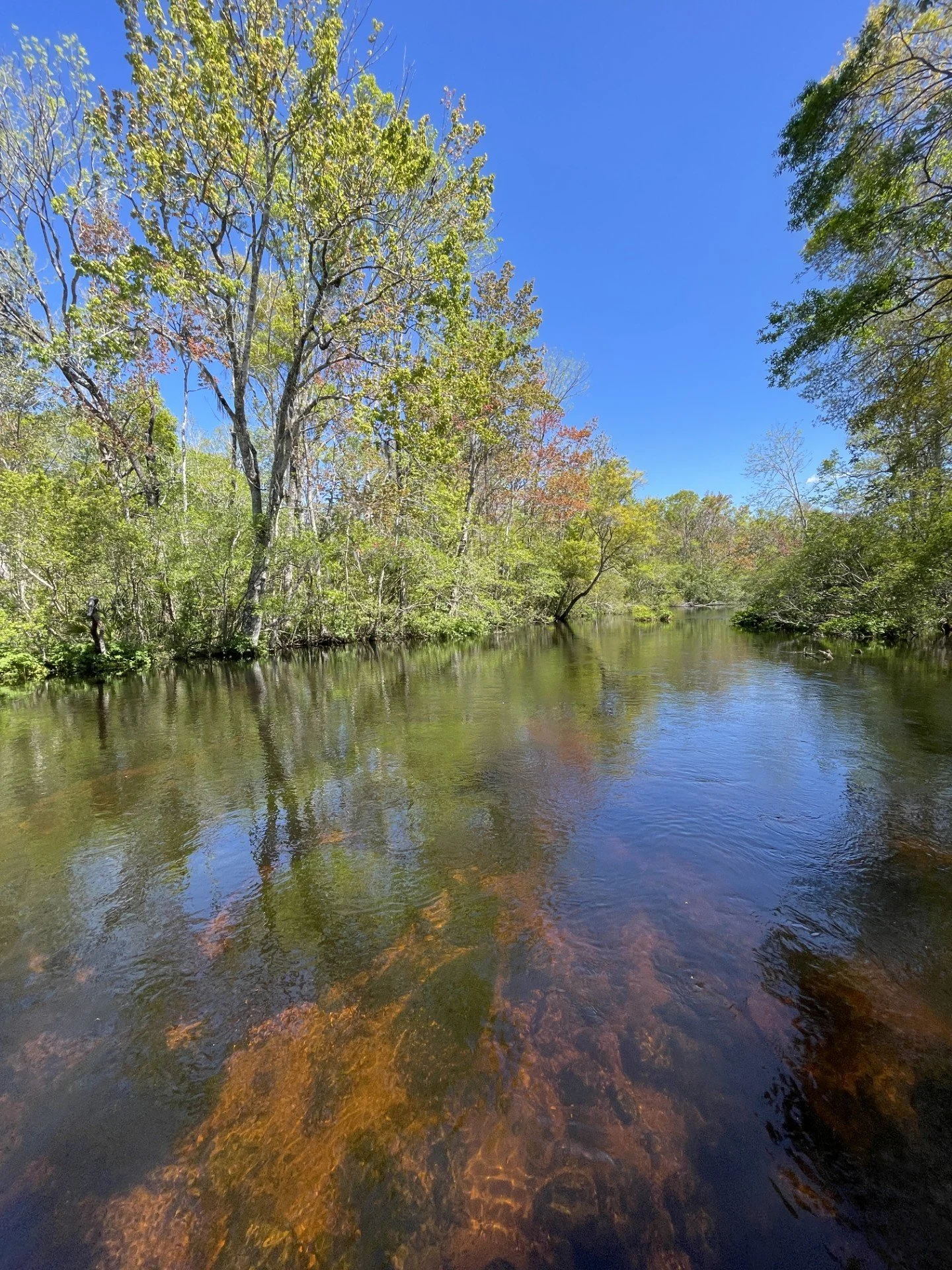
The Apalachicola National Forest (ANF) is in the St. Marks (Leon and Wakulla counties), Ochlockonee (southwestern Liberty and southeastern Franklin counties), New River (Liberty and Franklin), and Apalachicola (eastern Liberty, Leon, and Wakulla counties) river basins. Although ANF does not abut the Apalachicola River several tributaries of that river (e.g., Rowlett’s Creek) drain ANF. Other rivers—the Sopchoppy and tributaries of the Ocholockonee—drain the eastern part of ANF. Part of the Wakulla Springs Basin extends into ANF and feeds the Wakulla River.